Drone Technologies
High-precision aerial surveying, mapping and inspection solutions — from data capture to analytics and delivery.
Request a DemoHigh-precision aerial surveying, mapping and inspection solutions — from data capture to analytics and delivery.
Request a DemoDrone-based surveying, mapping, and inspection solutions for agriculture, infrastructure, and industrial applications.
RTK/PPK-enabled UAV missions for centimeter-level accuracy.
Generation of detailed 3D models, point clouds, and elevation data.
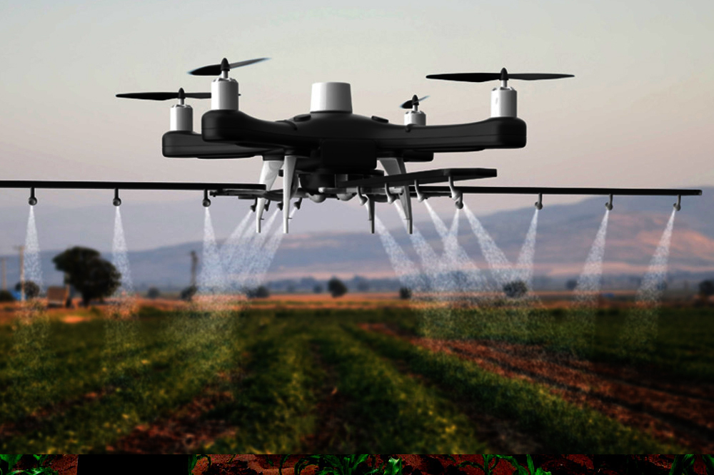
Detection of faults, heat loss, and crop health variations.
Clear dashboards, reports, and GIS-ready outputs for decision-makers.
Understand project goals, terrain, regulatory constraints, and data requirements..
Execute optimized drone missions using industry-grade UAV platforms and sensors.
Apply photogrammetry, AI analytics, and quality checks to ensure accuracy.
Deliver maps, models, and reports with ongoing support and updates as needed.
"“Firmware Infotech’s drone-based mapping helped us reduce survey time by over 50% while delivering highly accurate terrain models. The insights significantly improved our project planning.” — Project Manager, Infrastructure Development Firm"
Timelines vary; a small app is typically 8–12 weeks, while complex platforms may take several months. We provide a timeline during discovery.
Yes — we offer support plans and SLA-backed maintenance after launch.
Share your project brief and we'll prepare a proposal with timeline and cost estimate.
Start a Project